Tight space in the urban subsurface
The subsurface is already crowded and there are more and more claims on the available space. The energy transition, to name just one example. For urban residents, keeping space available is important for vital soils and biodiversity. How will cities manage this process?
Jannemarie de Jonge is a member of the Dutch Board of Government Advisors, which organised knowledge sessions about planning based on the water and soil system in regions such as Zwolle/Kampen/Dalfsen and the Arnhem/Nijmegen green metropolitan region. ‘We designed a national ecological network in the Netherlands in the 1990s that was based on the soil and water system. But it hardly played any role in terms of urbanisation. So I was pleased with the Parliamentary Letter on Water and Soil as Leading Factors,’ says De Jonge. ‘Vital soils and living water are needed for biodiversity but that awareness is still in the early stages, certainly in cities.’

Jannemarie de Jonge
member of the Dutch Board of Government Advisors
Jannemarie de Jonge
Jannemarie de Jonge studied landscape architecture at Wageningen University. She worked for the municipality of Ede before moving on to the Noord Brabant provincial authority, followed by the Alterra research institute. She has been a partner of the consultancy firm Wing since 2007. In 2020, she was appointed Government Advisor for the Physical Environment.
Phased plan
The Board of Government Advisors wants to change this and it has already launched a number of campaigns, such as contests about bio-based and nature-inclusive building and an overview of good examples of projects in the field of water and soil as leading factors. ‘We also published a booklet in which we explain that, as a region, you must first map out the soil and water system and the climate effects. That provides you with a picture of what it is better to do, and what not. Take agriculture in peatlands, for example. All kinds of solutions have been devised here with innovative drainage to keep the soil wet. But if you know there won’t be enough fresh water in the long run to keep the system going, you’re investing in something that won’t work in the future. We look forward to helping municipal authorities with the implementation of this phased plan.’

Every drop counts
The Board established a knowledge coalition and, working with the Ministry of Infrastructure and Water Management and Deltares among others, guided four regional authorities during a number of sessions. ‘You really look at things in depth. Each area has its own focus.
With the Leiden/The Hague/Delft region, we looked at the regional level from the perspective of a neighbourhood, and then you realise that every drop counts. That drop falls somewhere in the city and will eventually pass through the drainage system on its way to the sea. When you have peak rainfall, with a lot of drops, the system gets overloaded, with flooding as a result. You want water to slow down and stay in the soil longer, and so every pavement tile gets in the way of infiltration.
You can come up with solutions by taking a more fundamental look at how to use that space better. On the university campus in Delft, for example, a lot of room is still taken up by paved car parks. If you tackle that, you can prevent nuisance flooding further downstream in the system in The Hague.’
Soil builders
De Jonge believes that this knowledge coalition makes municipal authorities more aware of being part of a bigger picture. ‘We hear that during discussions, and people are enthusiastic because we are learning together all the time. You can create that awareness with the Bodembouwers (Soil Builders) game.’ Participants make spatial decisions based on the principle of water and soil as leading factors. Every participant works on a different assignment, from housing construction to the energy transition. They are asked to work together to improve the soil. ‘This generates great conversations and shows that soil is important in all developments.
Every area development should include some form of innovation, from permeable tiles to forms of citizen participation, because everything starts with behaviour: not watering the lawn with tap water, for example, but with water you collect in rain barrels. These are small things but, added up, they put less strain on the sewer system and they reduce water nuisance in cities.’
Reageerbuisje voor eilanden
Mindert de Vries is een van de initiatiefnemers van het zoetwaterproject op Terschelling. Hij is zowel werkzaam voor Deltares als specialist integraal kustbeheer en als senior onderzoeker bij Van Hall Larenstein.
Mindert de Vries is van huis uit ecoloog en is gespecialiseerd in integraal kustbeheer door inzet van Nature Based Solutions (Als de insnoering teveel wordt) bij Deltares. Hij heeft uitgebreide kennis van ecologische aspecten, natuurherstel en de gevolgen van water- en sedimentverontreiniging voor soorten en ecosystemen. Hij is projectleider en initiatiefnemer geweest van vele modelstudies en experimenten met betrekking tot toepassing van NbS voor zoete en zoute watersystemen samen met Ecoshape partners en universiteiten. Inmiddels is hij werkpakketleider en coördinator van Europese projecten rond klimaatadaptatie van kusten en regio’s in nauwe samenwerking met provincies Friesland en Groningen.
‘Vier jaar geleden ben ik dit project gestart. Aanleiding was een aantal bijeenkomsten van het LTO waar ik sprak over hoe klimaatverandering de verzilting op de eilanden zal versterken. De boeren hadden in 2018 een heel droog jaar meegemaakt en gaven aan dat ze last hadden van die verzilting, met stukken grond waar niks meer op wilde groeien. Vanuit Deltares is er al langer onderzoek naar hoe de ‘zandige’ eilanden wereldwijd gevoelig zijn voor klimaatverandering. Zo begon het balletje te rollen en hebben we partijen bij elkaar gebracht.’
Microkosmos
‘Van Hall Larenstein introduceerde het Living Lab, een samenwerkingsvorm waar wij graag mee werken. Hier vindt onderzoek en innovatie gelijktijdig plaats en laten we de mensen uit de praktijk samen met de kennisinstituten en overheden optrekken, zodat er een gemeenschappelijke basis van begrip ontstaat. We brengen de partijen met elkaar om tafel en delen de problemen, inzichten en oplossingen. Terschelling is een microkosmos - een reageerbuisje voor andere eilanden - waar de ruimte beperkt is en waar tegenstelde belangen zijn in de strijd tegen de klimaatverandering. Deltares en WUR brengen kennis in en het voordeel daarvan is dat wij onafhankelijke partijen zijn. Onze kennis is niet gekleurd en dat wordt ook zo door anderen geïnterpreteerd. Met deze kennis, ondersteund door het klimaatmodel, kunnen we gezamenlijk de discussie opstarten welke maatregelen effectief zijn. We kijken bijvoorbeeld naar nieuwe grassoorten die beter tegen de verzilting kunnen. We doen berekeningen voor stakeholders om hun eigen functie te verbeteren. Zo maken we het plaatje compleet van wat er zich afspeelt op Terschelling.’
Independence
The benefit of a knowledge coalition of this kind under the banner of the Board of Government Advisors is the independence. ‘In many area processes, the focus soon turns to different interests and negotiations about what can or cannot be done; this process is about properly understanding how a particular area is structured and what the challenges are. We are not a threat. And that’s why we work so pleasantly with Deltares, who provide independent knowledge and reflection. We still need to learn so much more about the soil. What does vital soil look like, which soil functions are important, how will climate change have an impact? This is still a blind spot for many people. If you see a tree that is twenty metres tall, you need to realise that – roots and all – it goes down twenty metres below the ground.’

Towards vital soils
‘How do we make the most of the opportunities that soils provide in our spatial planning? Do we still want to build in low-lying polders? And where can we set aside space for the drainage and storage of water for housing construction, nature and agriculture?’
Linda Maring, soil expert Deltares, explains
Towards vital soils
‘How do we make the most of the opportunities that soils provide in our spatial planning? Do we still want to build in low-lying polders? And where can we set aside space for the drainage and storage of water for housing construction, nature and agriculture?
Deltares has been working for a long time on ways to incorporate soil and the subsurface in spatial planning and design at an early stage. In that way, we can strengthen the soil-water system and make sustainable use of what the ecosystem offers us.
At the moment, with the Water and Soil as Leading Factors policy, the European soil strategy, the proposed soil monitoring directive and the European soil mission, we have an opportunity to really put this on the map. Look at all the wonderful initiatives in the Netherlands and Europe relating to Water and Soil as Leading Factors and vital soils. And I am already looking forward to the European project ‘SPADES’ (Spatial Planning And DEsign with Soil) that Deltares will launch with Delft University of Technology on 1 September. The worlds of soil and spatial planning meet here and we can incorporate soil in existing work processes and assessment frameworks.
By planning space above and below the ground in conjunction with the natural system, we can work on a more sustainable future. Because vital soils are a pre-condition for achieving European ambitions, for example in the areas of food supplies, restoring biodiversity, liveable cities and climate adaptation.’
Amsterdam
Amsterdam is responding to national and international developments in the domain of sustainable land use and management. Those developments include the Parliamentary Letter on Water and Soil as Leading Factors, and the European soil strategy and monitoring directive. ‘In addition, we also work primarily on the basis of our own ambitions in the areas of greening, climate adaptation, restoring biodiversity, and liveability, which come together in Amsterdam’s Environmental Vision,’ says Thijs Vlaar, policy consultant for the City of Amsterdam. ‘We drew up a definition of soil health in which we set out what we expect from the soil in specific locations. Agreeing on that definition gives us a yardstick we can fall back on.’

Thijs Vlaar
Policy Consultant for the City of Amsterdam
Thijs Vlaar
Thijs Vlaar is a policy consultant for the Soil Department of the City of Amsterdam’s Soil and Development Directorate. That department works on area development and larger projects involving land development.
In collaboration with the Wageningen University and Research Centre, Amsterdam is developing a soil health index. ‘That is an instrument that allows us to assess the value for soil use at specific locations. During area development, we can identify at an early stage which types of soil are involved and how the soil is performing. And so we can, for example, avoid building a park in a place where the soil is absolutely unsuitable. Individual soils involve different nuances in terms of use and structure.’
The index also makes it possible to assess soil problems in the city. ‘We can see what role the soil plays and which indicators are involved.’ The Healthy Soil Strategy Memorandum has now been drafted. It describes how Amsterdam will implement its own ambitions relating to soil, and to the relevant national and European developments.

Living labs
Amsterdam is currently starting on the practical work with the soil health index. ‘We’ll monitor how it works and how much it costs.’ With living labs, the city authority wants to launch innovative projects to get citizens and businesses on board for more vital soils in the city.
Living labs
Amsterdam is currently starting on the practical work with the soil health index. ‘We’ll monitor how it works and how much it costs.’ With living labs, the city authority wants to launch innovative projects to get citizens and businesses on board for more vital soils in the city.


Kampen
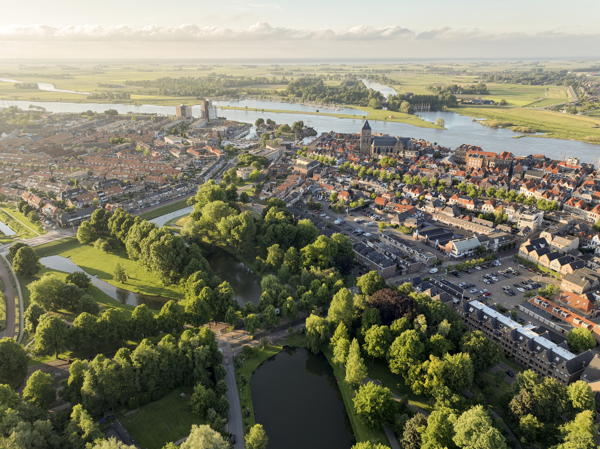
Kampen is one of the municipal authorities involved in the knowledge coalition sessions. ‘Kampen is the Netherlands in miniature,’ says Gerja Rozendaal-Tuin, senior Spatial Development project manager with the municipality of Kampen. ‘It is a medieval city with countryside around it. It is close to the major IJssel river with clay deposits and there are polders and high sand ridges, but also peatland.’ The municipality’s numerous ambitions for this area will be included in the Environmental Vision 2.0.
We are located in a delta, sandwiched between the Veluwe and Drents Plateau areas, which are a lot higher. We want to apply the principles of water and soil as leading factors here’.

Gerja Rozendaal
Senior project manager for Spatial Development
Gerja Rozendaal
Gerja Rozendaal is senior project manager of Spatial Development with the municipality of Kampen. She worked previously for the municipality of Twenterand and as a lobbyist for LTO Noord.
Reeds
What does Rozendaal think of the sessions organised by the knowledge coalition this spring? Rozendaal: ‘Deltares supplied the knowledge in studies they conducted to formulate the results in terms of our region. We talked about water quality and about areas in the city that are vulnerable to intense rainfall. You can divert some of the water with watercourses such as ditches to locations outside the city. You can also create areas for water storage such as retention ponds. At the same time, you can clean up the water by planting reeds. A natural system of this kind is useful on the road to vital soils.’

Dilemmas
That also involves challenges for how we use soil and water, Rozendaal says. ‘In the past, we often had room left in the town for new buildings, but that’s a thing of the past now. Any building plans we have involve dilemmas. If we want more housing, there also has to be room for green areas to enhance biodiversity.’
At present, the municipal authority is working on the further elaboration of the Environmental Vision, which also includes the ‘Spatial Assessment Framework for a Climate-Adaptive Built Environment’, the first national elaboration of the principle of water and soil as leading factors. It provides the municipality with a picture of where they can build by showing the risks for each location in terms of flood risk management, problems with excessive rainfall, land subsidence and drinking water.
The municipality wants to engage in dialogue with the local people. ‘We have set up a participation process,’ says Rozendaal. ‘Can the new building be a little higher and what kind of green facilities are needed? That’s what we want to hear from our residents and, in this way, we also hope to raise public awareness.’
